Welcome
Welcome to the Brown County Water Improvement District (BCWID) website. The goal of this site is to provide interesting, current, and historical information about the regional water district. We hope this website will assist you with information about BCWID. Please feel free to contact us for more information.
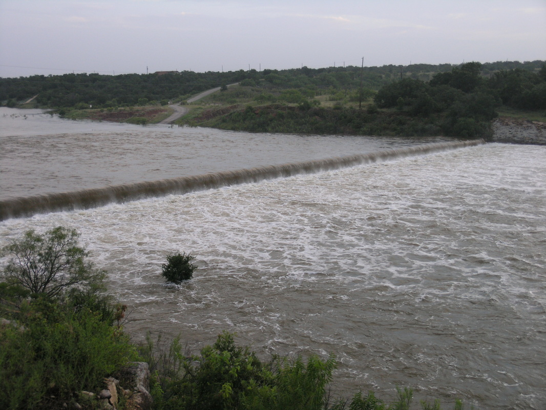
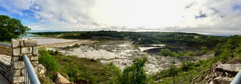
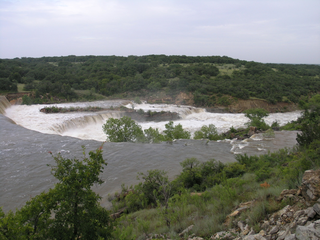
The Brown County Water Improvement District (BCWID) owns, operates, and maintains Lake Brownwood. Lake Brownwood provides water for many uses in the region, including the majority of the drinking water that is from its water treatment plant located in Brownwood. BCWID#1 serves the communities of: Brownwood, Bangs, Brookesmith SUD, Santa Anna, Coleman County SUD, Early and Zephyr WSC 325-643-2609 Main office 325-646-3031 Fax 
|
| ||
|
|